in 3h 41m
Partly lit cloud edges
Exactly at sunset: Good
Photo locations · Kandersteg · Switzerland
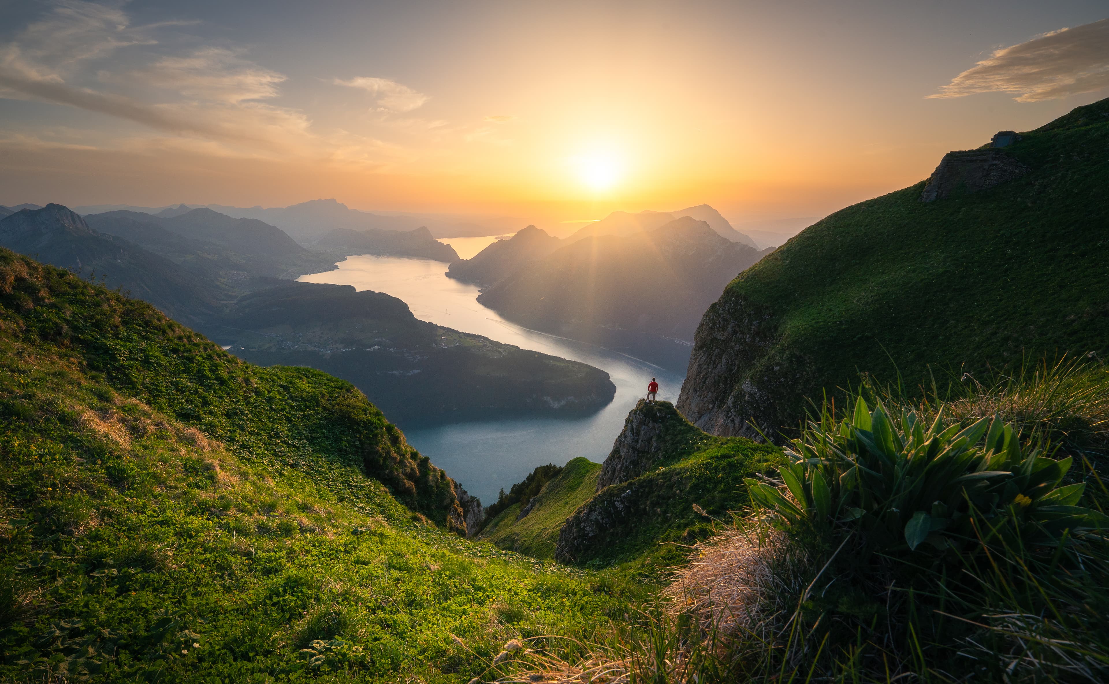
The panorama trail above Oeschinensee gives the lake its scale: turquoise water below, cliffs behind it and enough height to layer the shoreline. It is much stronger than the first lakeside view, but it needs a real hike and a careful return.
Simplified forecast from the open model run. The full forecast — a second model, your exact viewpoint, the hourly cloud timeline — is in the app.
Recommended arrival
Sky colors
Why: The sun's path is clear at the height its low light travels, so the light can reach the clouds at sunset.
Terrain is drawn for illustration only — it is not used to calculate underlight or obstruction.
Forecast refreshed a few hours before sunset.
Simplified forecast from the open model run. The full forecast — a second model, your exact viewpoint, the hourly cloud timeline — is in the app.
Sky colors
Why: The sun's path is clear at the height its low light travels, so the light can reach the clouds at sunset.
Terrain is drawn for illustration only — it is not used to calculate underlight or obstruction.
Forecast refreshed a few hours before sunset.
The sunset forecast for Oeschinensee Panorama View on this day is being prepared. Create a free account to check it on demand.
€3.33 /month
Billed annually — €39.99
Try 14 days freeCard required, nothing charged for 14 days. Cancel any time in the trial and you pay nothing at all. EU/EEA consumers: see the right-of-withdrawal section in our Terms.
Late June to early October, once the upper paths are snow-free. July has greener slopes; September usually brings clearer air and fewer visitors.
16–35 mm for the lake and cliff amphitheatre; 50–135 mm for boats, waterfalls and light moving across the far wall.
Use the trail’s bends and grassy ribs as foreground rather than placing the lake in the middle. A polariser can help the colour, but rotate it carefully on wide lenses to avoid an uneven sky.
Reach your chosen bend 60 minutes before sunset and leave enough daylight for the exposed sections of the return.
Check cable-car hours, trail status and descent options. The higher panorama route has steep, exposed ground and is not a casual lakeside walk.
Parking: Official paid parking at the Oeschinen valley station in Kandersteg; arriving by train is often easier.
Approach: Cable car to Oeschinen, then roughly 60–90 minutes to the higher panorama viewpoints depending on the route.