SunsetVue

Photo locations · Engadin · Switzerland

Muottas Muragl: sunset photography forecast

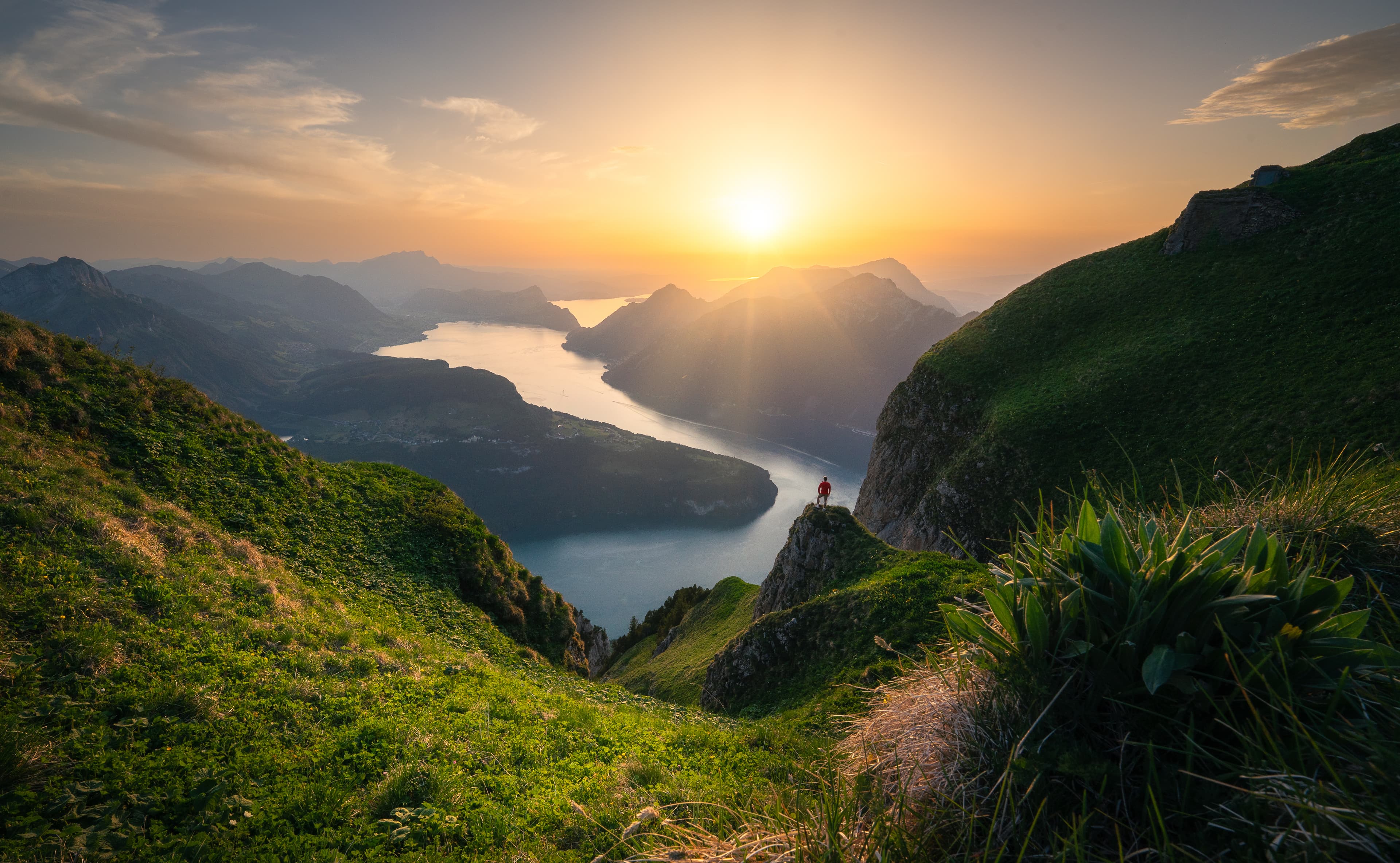
This is probably the easiest high-mountain sunset in Switzerland. The funicular runs until late in the evening, so you can stay for the light and still ride down. From roughly 2,450 m the Upper Engadin lakes chain away below you toward St. Moritz, with the Bernina range closing the far side.

Will today's sunset be worth it?

Simplified forecast from the open model run. The full forecast — a second model, your exact viewpoint, the hourly cloud timeline — is in the app.

Cloud along the light path toward the sun will block most direct light.

in 41m

Blocked grey lid

Flat grey light · moody close-ups at best

Little usable cloud structure, or the viewpoint sits inside a uniform lid.

High confidence · event-time scene

Sky colors

Golden hour
Sunset

Light corridor

Viewer's line of sight, tangent to the Earth at your locationNear-ground relative humidity20% cover — too thin to draw as cloud19% cover — too thin to draw as cloud5% cover — too thin to draw as cloud12% cover — too thin to draw as cloud5% cover — too thin to draw as cloud5% cover — too thin to draw as cloudConnected cloud layer · 0–100% cover · 45–100% visual uncertaintyConnected cloud layer · 0–100% cover · 45–65% visual uncertaintyConnected cloud layer · 0–100% cover · 45–100% visual uncertaintyConnected cloud layer · 61–61% cover · 10–10% visual uncertaintyConnected cloud layer · 63–100% cover · 10–45% visual uncertaintyConnected cloud layer · 91–100% cover · 45–45% visual uncertaintyConnected cloud layer · 0–100% cover · 45–65% visual uncertaintyConnected cloud layer · 0–100% cover · 45–100% visual uncertainty100 km · 1.6 km of air with no pressure level in it — the decks above and below are measured, this span is notlow cloud · 94% reported, 0% resolved on a pressure surface — 94% is somewhere between 2.52 and 3 kmlow cloud · 85% reported, 0% resolved on a pressure surface — 85% is somewhere between 2.45 and 3 kmmid cloud · 100% reported, 81% resolved on a pressure surface — 19% is somewhere between 3 and 8 kmlow cloud · 77% reported, 32% resolved on a pressure surface — 45% is somewhere between 1.78 and 3 kmmid cloud · 100% reported, 72% resolved on a pressure surface — 28% is somewhere between 3 and 8 kmlow cloud · 97% reported, 0% resolved on a pressure surface — 97% is somewhere between 2.22 and 3 kmmid cloud · 100% reported, 72% resolved on a pressure surface — 28% is somewhere between 3 and 8 kmhigh cloud · 100% reported, 81% resolved on a pressure surface — 19% is somewhere between 8 and 12 kmlow cloud · 100% reported, 0% resolved on a pressure surface — 100% is somewhere between 2.65 and 3 kmlow cloud · 91% reported, 5% resolved on a pressure surface — 86% is somewhere between 1.8 and 3 km20 km · the model says the lowest depicted cloud underside may catch red light · lit on one reading: the strongest cloud toward the sun was set aside, and counting it would have darkened this deck50 km · the model says the lowest depicted cloud underside may catch red light

-5 km

Behind you

8/8L 94 · M 100 · H 6192% · rain 0.3 mm17.5 km

Your location

2450 m asl

8/8L 85 · M 100 · H 3284% · rain 0.4 mm29 km

5 km

Nearby

8/8L 77 · M 100 · H 6083% · rain 0.2 mm33 km

20 km

Near horizon

8/8L 97 · M 100 · H 10098% · rain 0.3 mm1.2 km

50 km

Light path

8/8L 100 · M 98 · H 54100%300 m

100 km

Light path

8/8L 91 · M 100 · H 077%36.5 km

150 km

Far light path

8/8L 50 · M 93 · H 10089%26.5 km

200 km

Far light path

6/8L 54 · M 57 · H 3384%28.8 km

300 km

Far light path

8/8L 100 · M 100 · H 084%28.7 km

350 km

Far light path

8/8L 100 · M 80 · H 083%29.4 km
cloud-cover fieldinterpolation uncertaintysun directionnear-ground humiditycloud at unresolved heightmodelled underlightunderlight · height uncertainunderlight · lit on one readinglit but hidden behind nearer cloud

Terrain is drawn for illustration only — it is not used to calculate underlight or obstruction.

Clouds: Cloud canvas mostly unlit


Very thick mid/high cover (100%) — colour likely only at cloud edges.

Low cloud deck overhead (88%) hides the coloured undersides.

Most clouds above you sit in shadow — their undersides are unlikely to catch colour.

Cloud cover is nearly solid and uniform across the near scene — a flat lid rather than separated layers.

Cloud is distributed across low, middle and high levels, creating strong vertical depth.

Good local visibility should keep the cloud layers and distant scene clearly separated.

Light corridor is blocked


Cloud at the light ray's height along the far path (100%) will block most direct light.

Thick cloud between you and the low sun (97%) — no real golden hour expected.

Sun likely hidden. You're above the low cloud (2450 m), but a solid mid-level deck (100%) sits over it — the sun stays screened from above.

Clarity: Reduced

Forecast refreshed a few hours before sunset.
Know the light
before it happens

€3.33 /month

Billed annually — €39.99

Try 14 days free

Card required, nothing charged for 14 days. Cancel any time in the trial and you pay nothing at all. EU/EEA consumers: see the right-of-withdrawal section in our Terms.

For photographers: shooting Muottas Muragl

Best months

Whenever the funicular is running. Late autumn and winter give the cleanest air and snow on the peaks.

Suggested focal lengths

70–200 mm suits the natural layering; 24–70 mm for the full sweep of the lakes

Composition

The lakes are the composition. Use them as a receding line and place the horizon high enough to keep them in the frame.

Recommended arrival

45 minutes before sunset. The restaurant means you can arrive early without suffering.

Access planning

Funicular from Punt Muragl, generally running into the late evening — check the last descent for the date you go.

Parking: Punt Muragl valley station

Approach: Funicular, then a few minutes on foot

Other photo locations